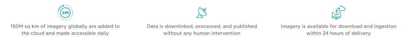
Planet’s fully-automated, cloud-based imagery platform downloads, processes, and manages 5+ terabytes of data every day. Built for speed and affordability, our platform enables customers to build tools, ingest data, and run analytics at scale.
Fully-automated imagery processing
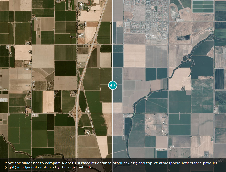
Planet’s imagery pipeline corrects for a variety of factors and delivers analysis-ready data, without costly post-processing or manual intervention.
Orthorectification removes collection geometry, pointing error, and terrain variability distortions
Radiometric corrections correct for sensor artifacts and transformation to at-sensor radiance
Top- and bottom-of-atmosphere corrections reduce spectral inconsistency across time and location
Cloud-based access, speed, and scale
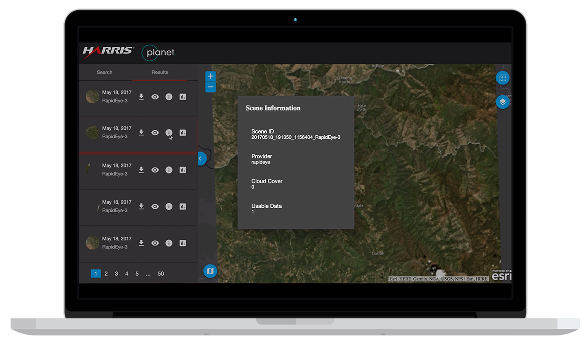
Access and manage data online. Our platform is built to be fast and intuitive, enabling you to run analytics and extract information at scale.
API-first integration and download
Programmatically search and download from our 6+ petabyte catalog with Planet’s API, built on accepted REST, JSON, and HTTP standards.
Ingest only the imagery and associated GeoJSON metadata you need
Build atop Planet’s API and easily integrate imagery into your tools and workflows
Set up custom notifications and get alerts when new imagery appears in the catalog
Copyright 2019 EYE IN THE SKY TECHNOLOGIES. All rights reserved.
|
Website Desinged & Developed by Attrait Solutions.